Key outcomes
- 650 sightings of cotton bush recorded
- Genetic samples collected to increase understanding of weed origin and treatment options
- Landholders engaged in cotton bush control
Developing an understanding of how to improve weed management depends significantly on knowing the distribution of the weed of interest. South West NRM has worked with CSIRO to gather data and develop new tools for controlling narrow-leaf cotton bush (Gomphocarpus fruticosus) in Western Australia.
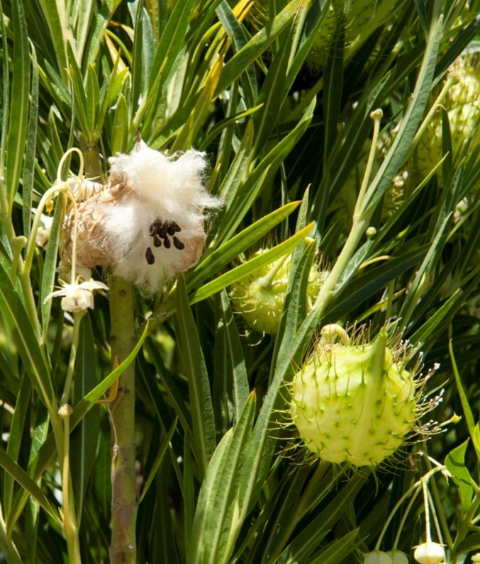
Cotton bush is a highly invasive weed and a declared pest in Western Australia. It aggressively out-competes native and agricultural plant species, posing a major threat to food systems and the natural environment.
Cotton bush originates from southern, eastern and northeastern Africa and the Arabian Peninsula. Although rarely deliberately grazed, it is toxic to livestock and can cause sickness and, in extreme cases, death. It grows in dense thickets up to many hectares in size, limiting the growth of other species and preventing livestock from grazing.
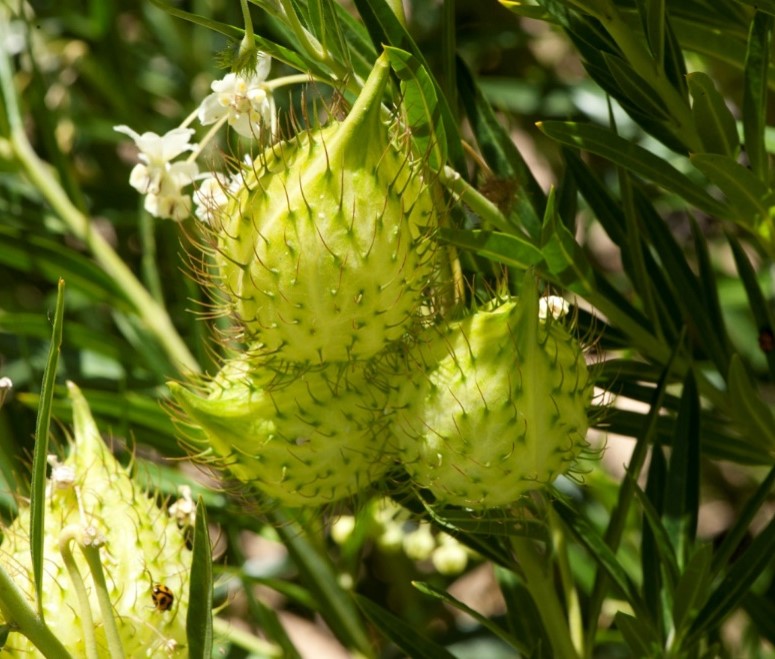
Cotton bush seeds feature a tuft of silky hairs which carry them away in the wind, and they are easily spread by contact with animals, humans and vehicles. Once an area of land becomes infested, it can be costly to treat and difficult to remove. Areas with mature infestations of cotton bush can be permanently unavailable for agriculture and become a reservoir of wind-dispersed seed that can invade nearby pastures.
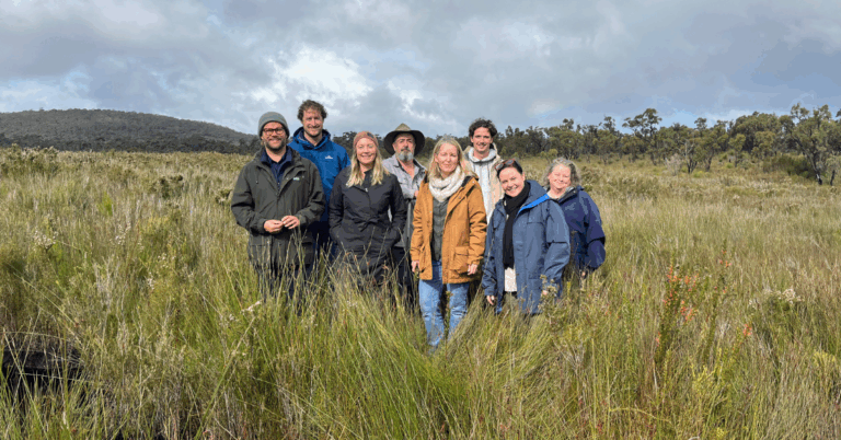
South West NRM worked with community partners to collect baseline ecological data about the distribution of cotton bush throughout the South West and collect samples at various locations.
Citizen scientists were harnessed to collect further samples and record sightings using an app (see below for info on how you can report sightings). Over 650 reports were received in the first year of collection.
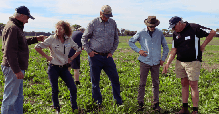
Surveys and workshops with landholders assessed their understanding of cotton bush, gather recordings and identify optimal management options.
The results and insights from this project will be used to inform future management of this invasive pest species.
How you can help
New data collection methods, including app-based tools, are revolutionising our ability to understand which plants are where in the landscape. Anyone with access to these tools can help build a deeper understanding of where weeds are, and what they are doing where they are found. Here’s where we would value your help!
In order to develop more effective methods of controlling cotton bush, more information is needed about:
- The impact, spread and distribution of cotton bush in South West WA
- Which subspecies are present throughout the region (depending on their native range)
- Natural enemies of cotton bush in the environment.
You can help by filling gaps on our cotton bush map. Here’s what to do!
- Download DPIRD’s MyPestGuide™ Reporter app to your smartphone.
- Report any cotton bush plants you find, along with any insects or disease that you notice on the plants, making sure you send the report to the “Cotton bush survey” section of the app (choose by drop-down).
For more information on how to identify cotton bush, visit the DPIRD website.
Our project partners